
Haverhill Neighbors Around One Block
People around a Haverhill address can be researched through several records, but each one answers a different part of the block question. Start with a selected parcel in the municipal map. Use the parcel fields to identify an owner and the exact situs address. Then decide whether a narrowly related deed, a ward or precinct context, a historical directory, or a City Clerk request is actually needed. A public record should be used for its stated purpose, not combined into an assumed list of everyone near an address.
| Block source | What it can establish | Access route |
|---|---|---|
| Haverhill MapGeo Abutters | Selected parcel, nearby parcels, situs addresses, parcel IDs, and owner fields | Free online viewer; Haverhill Assessors fallback |
| Haverhill ArcGIS layers | Ward, precinct, zoning, flood, wetland, land-use, and aerial context | Online local-map layers |
| Essex South Registry of Deeds | Recorded ownership and legal-description history for one adjacent parcel | Online index, Registry counter, and copy channels |
| Haverhill City Clerk voter route | Lawful public local voter-list fields for a defined street, ward, precinct, or date | City Clerk or a narrow public-records request |
| HPL directories and maps | Older households, addresses, and block features | Online Senter, library research service, and historical collections |
An owner mailing address may differ from the site address, and either can differ from current occupancy. The MapGeo and MassGIS fields are useful for property research, yet neither proves a complete household. A Haverhill block is best understood as a set of individual, dated records rather than a single public roster.
Note: Use the smallest parcel group and the least identifying record field that answers the block question.
Haverhill Neighbors Begin with Selection
The Haverhill Assessors / MapGeo property viewer accepts a property owner name, street address, or parcel ID in its quick search. A result can expose the address, parcel ID, account, owner, owner address, acreage, land use, and code. To research the immediate parcel area, choose the target parcel first. The Abutters tab then takes a distance in feet and a Find command. Parcels can be clicked to add or remove them, and Ctrl+Click can add a target.
The City’s Haverhill MapGeo parcel-viewer image source shows the search, map, theme, markup, and Abutters controls used for a nearby-parcel review.
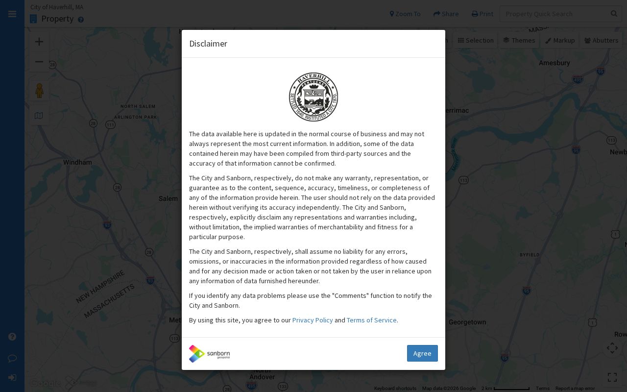
The visual controls support a parcel-by-parcel review. They do not identify every person in the area or establish who occupies a property.
That order is important. An Abutters result is spatial and starts with the selected property. A 500-foot circle can cross a street, lot line, ward, or ZIP boundary, so it should not be read as a legal boundary or a count of every household on a block. If an address produces no result, try the street name alone, a full or abbreviated suffix, an older or alternate number, the parcel ID, or the owner’s legal name.
Haverhill Block Records by Parcel
Use a short, repeatable flow from the target address to the surrounding parcel records. The result should stay focused on the immediate block or radius. For the longer chain along a named road, use the separate Haverhill by-street directory, which follows address records beyond the nearby-parcel question.
- Search the target address or parcel ID in MapGeo and confirm the selected parcel’s situs address and parcel ID.
- Open Abutters, enter a measured distance in feet, and run the search from that selected parcel.
- Click only the nearby parcels needed for the question. Save each parcel ID, situs address, owner field, and map context separately.
- Check the owner mailing address against the situs address. A mailing match can be a clue, but it is not occupancy proof.
- Use an Essex South deed only when ownership history for one adjacent parcel will resolve a specific question.
The adjacent-parcel flow is: address to selected parcel, selected parcel to nearby parcels, then parcel fields to a specific source. It avoids treating a map search as a broad people lookup and leaves a clean record trail if a result needs confirmation at the Assessors or Registry.
- Abutter
- A parcel that touches or falls within the selected map distance of another parcel. It is a spatial relationship, not a household relationship.
- Parcel ID
- The municipal identifier that helps keep adjacent properties distinct even when addresses or street labels are similar.
- Situs address
- The physical location of the parcel. It may not match the owner’s mailing address.
Haverhill Block Records Need Context
MapGeo can be paired with the City’s Haverhill ArcGIS map layers. The listed layers include wards and precincts, zoning, land use, flood zones, wetlands, open space, census context, aerial imagery, and other local themes. These layers help explain why parcels that look close on a street may be in different civic or geographic categories. They do not disclose residents.
MYTH. A group of parcels shown on a map is not a block census. Haverhill, Bradford, a ward, a precinct, a ZIP area, a parcel, and a historical map label overlap in different ways. Check the official layer or deed description before turning a neighborhood name or map pin into an address claim.
Haverhill Neighbor Deeds, Narrowly Used
When a single adjacent parcel needs an ownership-history check, the Essex South recorded-land address search offers a documented route. It takes a street name, a date range, a city or town selection, and optional street number and document-type filters. Save the party roles, recording date, book/page or document number, and legal description from the resulting deed. Then stop if the deed answers the property question.
Street-search results begin in 1995 and are limited to deeds and conveyances. Earlier work may require party-name, book/page, plan, registered-land, or unindexed-record searches. A deed is evidence of a land transaction. It is not a record of current physical presence, and it should not be used to publish a broad collection of names returned from a spatial query.
Note: The Registry’s free index and its image or download routes are separate access layers, so retain the book/page before seeking a copy.
Haverhill Voter Records at a Block
Massachusetts offers an individual Voter Registration Search, but that tool requires first name, last name, date of birth, ZIP Code, and consent. It is not a by-street browser. For a specific Haverhill block, ward, precinct, or street question, the appropriate route is the Haverhill City Clerk or a narrow request that identifies the date, requested fields, and preferred electronic format.
| Public-list context | Field treatment under state guidance |
|---|---|
| Possible public local fields | Name, address, party, date of birth, active or inactive status, voter ID, voting history, address changes, mailing address, registration date, and inactivity date |
| Protected fields | Phone, email, veteran status, permanent absentee status, confidential-voter status, and minors’ information |
| Statewide voter list | Not a public general list; it is not a substitute for a local, lawful request |
Haverhill’s voter system is described by the City as a closed system connected to Boston over a private line, not an internet IP. Ask the City Clerk to identify the lawful field set and redact protected information. The City’s annual street listing is also not voter registration, even though it includes a voter marker.
Haverhill Neighbor Community Evidence
Community evidence can add civic context to a Haverhill block without becoming a membership roster. The City’s community clubs and organizations directory is a starting point for city-known groups. The Vision Haverhill 2035 plan references several neighborhood and civic structures, but the research did not locate a dedicated city directory with current officers or member households. Confirm a group’s current status through its official channel or city minutes.
Historic Highlands Neighborhood Association
Referenced in the Vision Haverhill 2035 plan. Use city records or an official organization channel to verify current activity, contacts, and any public meeting material.
Mt. Washington Alliance
Referenced as a Haverhill civic structure in the City’s planning material. Its mention supplies neighborhood context, not a list of households or members.
Rocks Village Memorial Association
Referenced in the planning material and useful as a historic-place lead. Check current official sources before relying on its status or contacts.
The City’s community-organizations directory shows the official starting point for this civic layer.
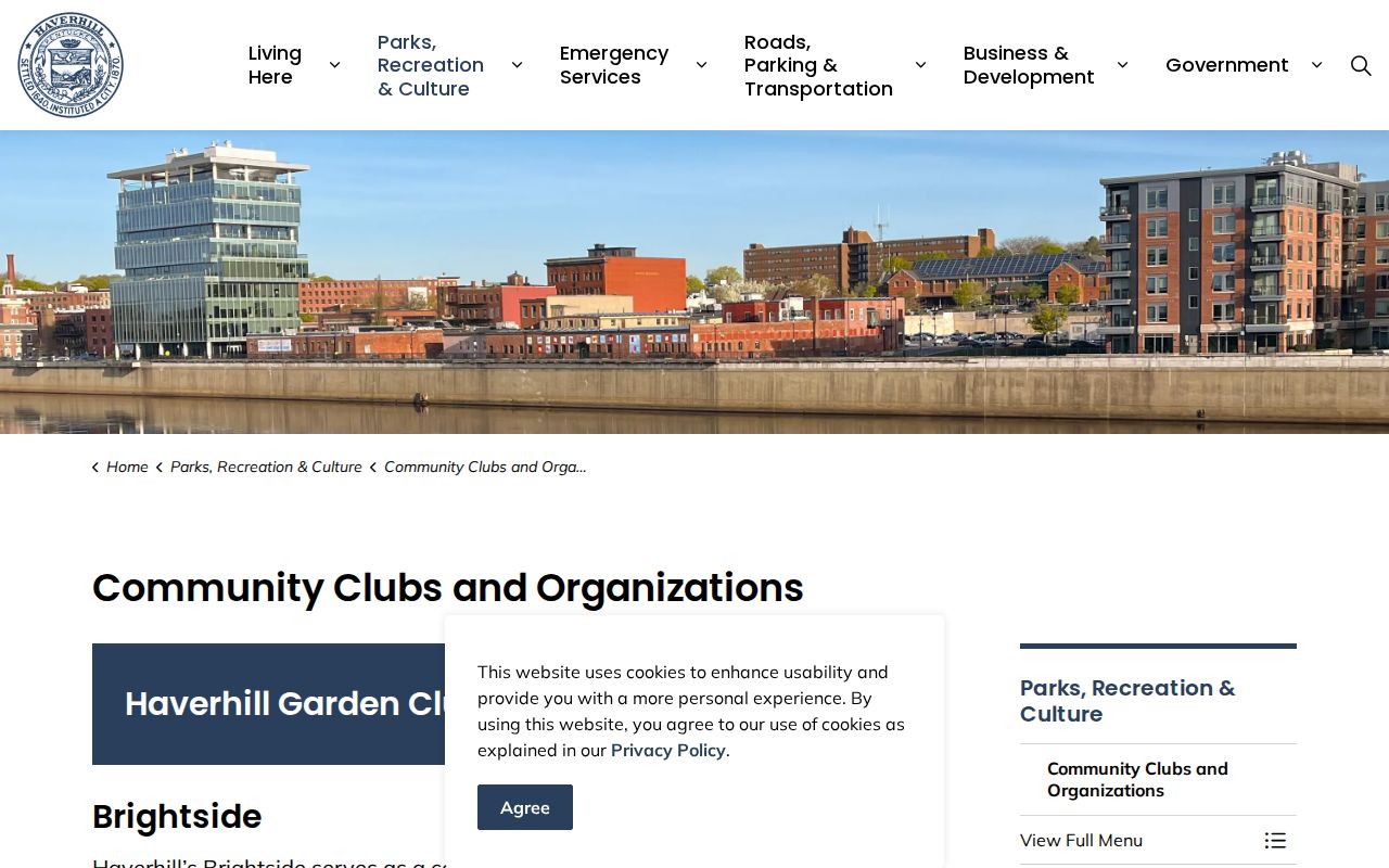
The directory helps locate organizations, but a listed group should not be treated as proof that a particular person belongs to it or lives on a given block.
The City’s agendas-and-minutes image source shows the municipal archive that can add a dated meeting or project reference to a community lead.
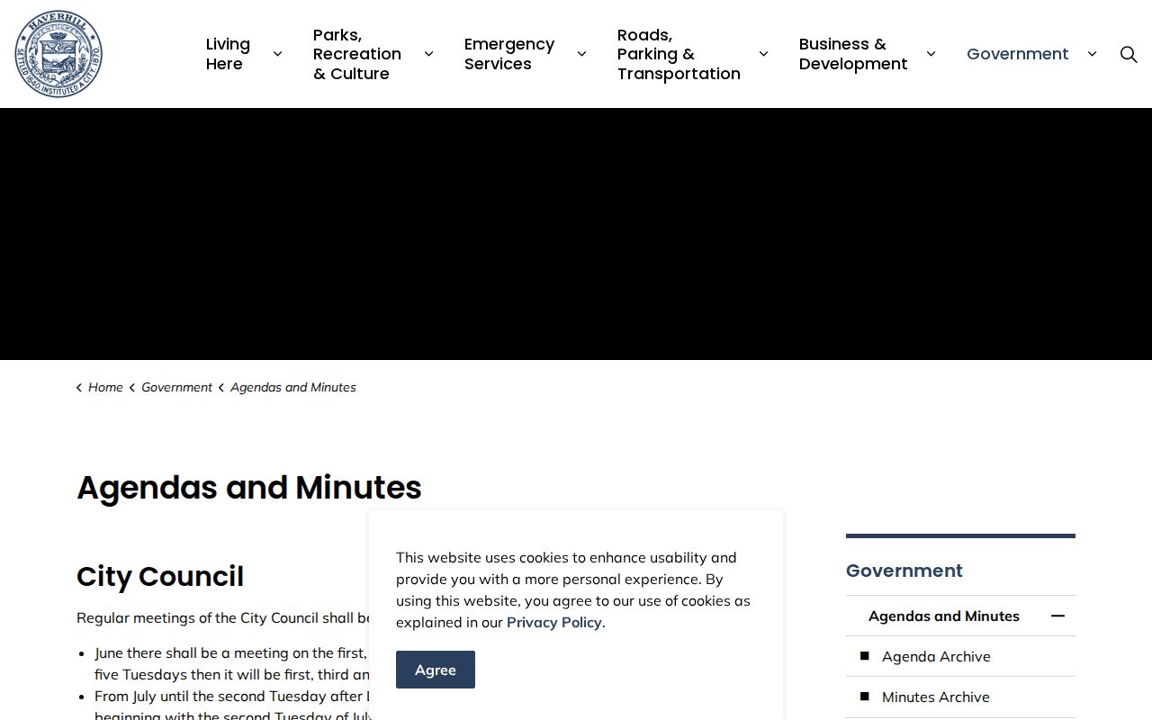
A meeting record can document a public discussion, project, or organization reference, but it is not a roster of people who live on the block.
Haverhill Older Block Records
For a historical block, the 1893 Library of Congress Haverhill Sanborn atlas contains 47 sheets and includes Haverhill, Bradford, Georgetown, and Groveland in its title information. It can show building footprints and the surrounding physical setting for an old address. Use the sheet number, nearby streets, and visible building patterns to test an old directory entry against the deed and parcel trail. The atlas does not identify every resident.
The Haverhill Public Library’s Special Collections material is unavailable or offsite during the Phase I renovation noted in August 2026, while the Senter Digital Archive remains available. For an older block question, start with digitized material or a precise library research request, then check current access conditions before visiting.
Haverhill Neighbor Sources Compared
Official and commercial neighbor tools do not carry the same evidentiary weight. A commercial category may combine sources with unclear dates or correction paths. An official source identifies its custodian, record type, and access limits. For an address question, the useful comparison is not speed alone. It is whether the source can be cited, dated, and confirmed by the office that keeps the record.
| Official source | Commercial category | Practical difference |
|---|---|---|
| MapGeo or Assessors record | Compiled neighbor profile | Official parcel data identifies its source fields; a compiled profile may not show its date or origin |
| Registry deed index | Ownership summary | The index links to a recorded instrument and party roles; a summary can omit legal-description context |
| City Clerk request | Broad address list | The custodian can apply field-level protections; a broad list may not reflect current access limits |
Haverhill Neighbor Privacy Limits
Public access in Massachusetts is record-specific. A parcel may show an owner while an address or current household relationship remains protected or unverified. Voter lists exclude protected categories. Courts can withhold sealed, impounded, juvenile, victim, and other protected information. The Massachusetts Address Confidentiality Program provides substitute-address protection for eligible survivors and certain protected health-care providers. Do not use a map, directory, or deed to infer or expose a protected address.
For a record that is not published, make a focused request under the Massachusetts Public Records Law. Identify the agency, record type, address or parcel, date range, and desired format. Haverhill’s public-records request route is the proper channel when the City is the custodian, and a narrow request is more likely to identify the relevant accessible record.