
Trace a Haverhill Street Address
A Haverhill street directory works best when the address stays exactly as it appears on each record. Keep apartment or lot notation, directional words, suffixes, and the ZIP. Start with the property layer to identify the parcel, then follow the record that answers the next question. The assessor can identify an owner of record. The Registry can show a deed trail. The City Clerk can explain access to a local street list. Those are different facts, and none alone establishes every person who lives at an address.
- Search Haverhill MapGeo by address, owner, or parcel ID. Copy the situs address, parcel ID, account number, and owner spelling.
- Use the parcel details to search the Essex South recorded-land address form with Haverhill, the street, a date range, and an appropriate document type.
- Open each plausible index row and note the grantor, grantee, recording date, book and page or instrument number, and legal-description references.
- For a current registration question about one known person, use the Massachusetts Voter Registration Search; use a narrow City Clerk request for a lawful local-list question.
- For an older household, compare the street and house number in library directories, census material, permits, and deeds before reaching a conclusion.
The state voter form is an individual status check, not a by-street browse. It asks for first and last name, date of birth, a five-digit registration ZIP, and agreement to its terms. A current ZIP can fail after a move. Haverhill's annual street listing is held by the City Clerk, so ask what fields may be released rather than expecting an anonymous household database.
Note: A parcel owner, a deed party, and a registered voter can each be connected to the same Haverhill address without being the current occupant.
Read the Haverhill MapGeo Panel
MapGeo is the practical first screen for a Haverhill street directory search. Its property quick search can match an owner name, street address, or ID. A result can show the address, parcel ID, account, owner, owner mailing address, acreage, land use, and land-use code. The service also offers advanced filters, spatial tools, result refinement, and a download option for CSV or mailing labels. Haverhill's ArcGIS layers add wards and precincts, zoning, land use, flood zones, wetlands, open space, census context, and aerial imagery.
| MapGeo control | Input | Use on a Haverhill street |
|---|---|---|
| Property Quick Search | Owner, address, or ID | Find the initial parcel record. |
| Advanced +Add | Attribute conditions | Refine a result; available fields vary by municipal setup. |
| Selection and Themes | Map tools | Compare the parcel with Haverhill map layers. |
| Abutters | Selected parcel and feet | Find adjoining parcels, not a complete block population. |
| Download Results | Result set | Export only after checking its fields and purpose. |
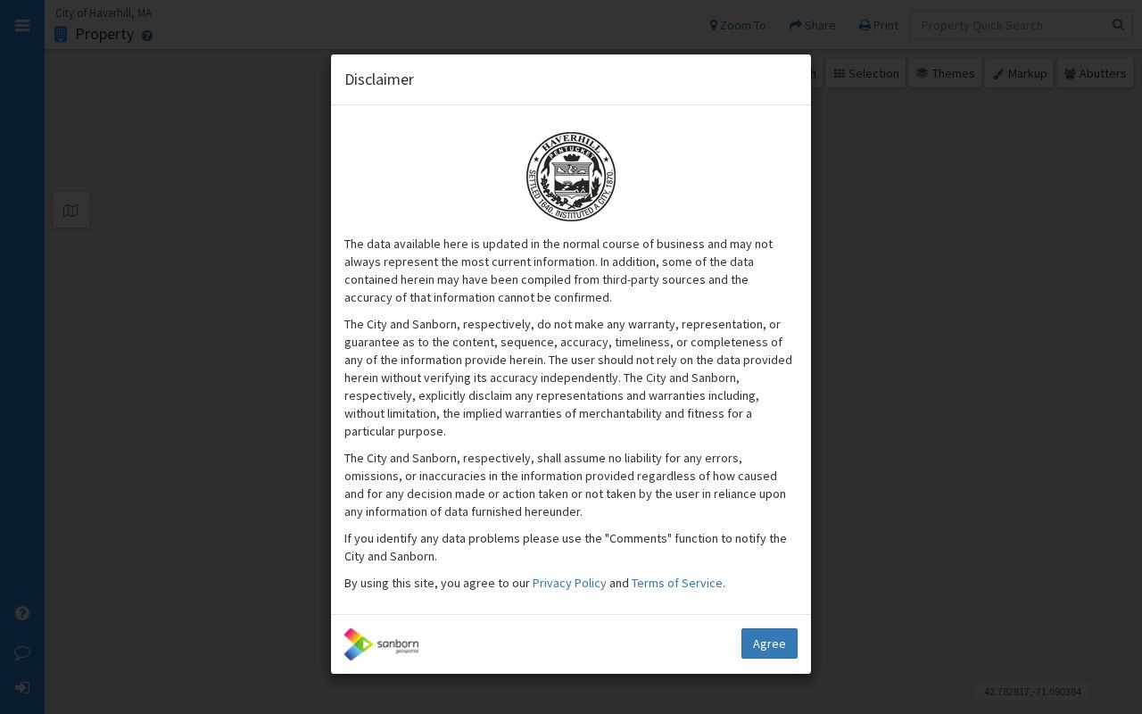
The Haverhill MapGeo property search is shown in the screenshot below. It is a useful street-directory starting point because it puts the parcel and its source fields in view before a name is carried to another record.
MapGeo itself says its information may not be current or accurate and is not a legal document. Confirm a consequential result with the Assessors or the Registry.
Check Haverhill Voter Status Carefully
For a known individual, the Massachusetts Voter Registration Search provides a status-check form with first name, last name, date of birth, five-digit ZIP, and agreement fields. It is not a street browse. A local street or ward question belongs with Haverhill City Clerk, which can explain the lawful fields and request route for a local voter list.
The form's individual fields and the City Clerk's local-list process keep a street research question from becoming an unsupported claim about everyone at an address.
Separate Haverhill Site Addresses
One of the most important Haverhill by-address checks is the difference between a situs address and an owner mailing address. MassGIS parcel documentation keeps `OWN_ADDR` apart from the site address. A tax bill can therefore travel to another town while the parcel is in Haverhill. The sample MapGeo record for 843 Hilldale Avenue happened to show matching site and mailing addresses, but that is not a rule. Another sample lists the City of Haverhill as owner of Belvidere Heights Drive and City Hall as its mailing address.
Use the site address to locate the physical parcel. Use the mailing address as a tax-contact clue. Do not turn either field into a claim about a current household. This distinction also matters when a trust, estate, corporation, or multiple owners appear in the property and Registry records.
- Parcel
- A mapped unit of property identified by an assessor number or map-and-lot style ID.
- Situs address
- The physical site address assigned to the parcel.
- Plat or plan
- A recorded map that can identify lots, subdivision lines, or referenced property layout.
- Criss-cross directory
- A historical directory arranged by street and house number rather than only by surname.
Search Essex South by Street
The Essex South Registry of Deeds serves Haverhill. Its newer recorded-land address form has a street number field, required street name, date-from and through-date fields, a town selector, and an optional document-type selector. Its result trail can identify party roles, recording date, document type, street or town, book and page or instrument number, and an image action when available. The free index is only the beginning. Image and download choices use the Registry interface, and the inspected page did not state a precise fee.
Recorded images begin at Book 1, Page 1 in 1640. The electronic recorded-land index begins in 1951, while the classic street search begins in 1995 and covers only Deeds and Conveyances. That timeline makes the Haverhill street directory useful for recent address work but incomplete for an older house if a searcher only enters a street. Search names, book and page, plans, registered-land records, and old index-book images when the address route ends.
| New address search | Street number, street name, dates, Haverhill, and optional document type. |
|---|---|
| Classic street search | Town, suffixless street name, primary number, date range, and Deeds or Conveyances. |
| Older material | Name, book/page, plan, registered-land, and unindexed-record modes. |
| Independent check | Read the deed image and legal description before connecting a party to a parcel. |
Use the Registry's Classic Rules
The classic Registry search is still useful for a Haverhill street directory trail. Enter the street name without suffixes such as Ave, Dr, Ln, or St. Use the first number instead of a range such as 11-13 or a number with a letter such as 11A. Select a date range, then test the result against the newer address form. The older mode also has name, book-and-page, document-type, plan, and registered-land paths.
This is a local records quirk, not a reason to force an address into one format. Preserve the exact source wording in your notes, then make a separate search variant for the classic form. Where the street result ends before 1995, move backward through the grantee name, older index books, and plan references rather than treating an empty street screen as proof that no deed exists.
Registry tip. Essex South's newer module helps with a modern street query, but the classic options remain important for Haverhill's older index-book and plan research.
Haverhill Records Tied to Address
A street directory becomes more reliable when each address-keyed source is used for its own narrow purpose. The Assessors identify property fields. MapGeo maps a selected parcel and its context. The Registry supplies recorded land events. Permits and building cards date changes. The City Clerk and state elections office handle the limited voter channels. Haverhill Public Library and the State Library preserve the historical address layer.
| Haverhill source | Address key | What it may show | Access channel |
|---|---|---|---|
| Assessors and MapGeo | Situs, parcel ID, account | Owner of record, land data, map location | Online, Room 115, or phone |
| Essex South Registry | Street, party, book/page | Deeds, liens, party roles, legal description | Index online; Registry counter and copy routes |
| Inspectional Services | Address, parcel, permit | Building cards, plot plans, improvement history | Online routes, Room 214, or request |
| City Clerk street listing | Street, ward, date | Lawfully releasable local-list fields | Clerk inquiry or records request |
| Library directories | Street and house number | Historical household or business entries | HPL, State Library, archives |
When an address narrows to a particular historical household, the Haverhill city directories are the place for the collection years and entry-reading method. The street workflow stays focused on the address chain.
Map a Haverhill Street's Context
MapGeo's Abutters tab begins with one selected parcel. Enter a distance in feet and choose Find; parcels can be added or removed with clicks, and Ctrl+Click can add a target. It is a spatial search, not a street-wide resident census. A radius can cross a road, a lot line, a ward, a ZIP, or a municipal context shown in a different layer.
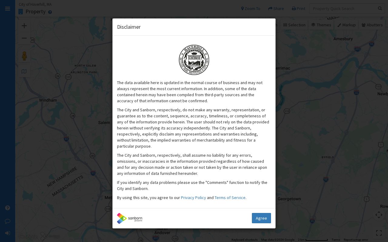
The Haverhill MapGeo parcel viewer screenshot shows the parcel interface used for a selected-address context check. Use the layers to understand why nearby properties may sit in different wards, precincts, zoning areas, or flood zones.
For a broader adjacent-parcel question, use the separate Haverhill neighbors lookup workflow rather than treating a street result as a list of people.
Date Changes Along a Haverhill Street
Building cards, plot plans, permits, assessment records, and tax bills can date a physical change without proving occupancy. Haverhill Inspectional Services has building and renovating routes, payment, plans, and building-card information, though anonymous public permit-search fields were not exposed in the research. The Assessors use January 1 as the assessment date and a July 1 physical-condition date for fiscal-year value. Tax bills are sent to the homeowner of record on January 1 and are due in February, May, August, and November.
For a house-history question, ask for the specific permit, assessment card, or plot-plan period. A dated improvement can help reconcile an address with a deed or historic directory. It cannot establish who lived there. If an old printed number is unclear, compare directory editions, the legal description, plan references, and the 1893 Haverhill Sanborn atlas rather than assume a citywide renumbering that the research did not verify.
Request a Missing Street Record
Not every Haverhill address record has a public web search. The fallback chain is specific: inspect MapGeo and the Registry first; ask Assessors in Room 115 for property questions; ask Inspectional Services in Room 214 for permits and building cards; contact the City Clerk in Room 118 for municipal or voter-list access; and ask the library or archives for older directories and maps. The Registry phone is 978-542-1704, Assessors is 978-374-2316, Inspectional Services is 978-374-2338, and the City Clerk is 978-374-2312.
A written Haverhill public-records request should name the parcel ID or situs address, record type, date range, agency, desired fields, and preferred electronic format. Massachusetts Public Records Law, M.G.L. c.66 §10 and M.G.L. c.4 §7 cl.26, governs access subject to exemptions and fees. A narrow request helps the custodian identify a responsive record without seeking unrelated personal information.
Limits of Haverhill Street Results
A Haverhill street directory cannot reveal every household or defeat a protected address. The public local voter channel excludes phone and email, veteran status, permanent absentee status, confidential-voter status, and minors' information. Court, vital, and health-license records have their own restrictions. Massachusetts Address Confidentiality Program participants use substitute addresses, and a protected address should be left with the custodian rather than reconstructed from fragments.
Use address records for lawful personal research, property history, family history, estate work, or civic context. Check dates and party roles before connecting records. An assessor hit, directory line, or deed can be stale or about an owner rather than a resident.
Privacy note. Use Haverhill street records only for lawful personal purposes, and never use an address trail to stalk, harass, or harm another person.
Note: If sources disagree or a name is ambiguous, stop and ask the appropriate Haverhill or state custodian for the record's current access rule.